
end of header
 TIGERweb, TIGERweb Decennial, and TIGERweb Economic Census Applications
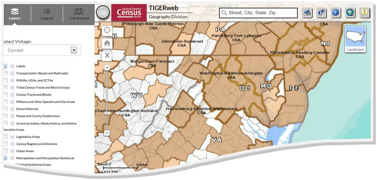
The TIGERweb, TIGERweb Decennial, and TIGERweb Economic Census web-based applications allow the users to visualize our TIGER (Topologically Integrated Geographic Encoding and Referencing database) data. The applications allow users to select features and view their attributes, to search for features by name or geocode, and to identify features by selecting them from a map. The TIGERweb, TIGERweb Decennial, and TIGERweb Economic Census applications provide a simple way to view our TIGER data without having to download the data.
What's New
- Application Information: The "Current" Vintage reflects boundaries in effect for the 2025 Boundary and Annexation Survey (BAS). See the Home tab "This Release" section for more details.
About the Applications
The TIGERweb, TIGERweb Decennial, and TIGERweb Economic Census applications offer the ability to view:
- Linear features
- Roads, highways, streets
- Railroads
- Rivers, streams, and other "single-line" drainage
- Area water
- Rivers, lakes, and glaciers
- Boundaries for legal and statistical geographic entities
Because geographic and locational context and relationships are important, the TIGERweb application determines which geographic entities and features may be visible based on map scale.
Users have the capability to turn on and off linear features and geographic entities by type. This allows users to limit the amount of data on the map by selecting only the features and entity types they would like to see.