
end of header
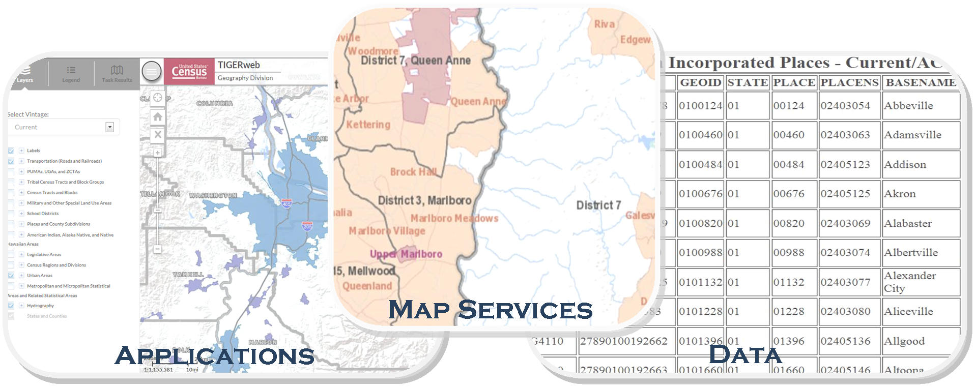 TIGERweb Overview
TIGERweb is a web-based system that allows users to visualize our TIGER (Topologically Integrated Geographic Encoding and Referencing database) data in several ways:
The applications allow users to select features and view their attributes, to search for features by name or geocode, and to identify features by selecting them from a map. The TIGERweb applications provide a simple way to view our TIGER data without Geographic Information System (GIS) software and without downloading data. The applications use our TIGERweb REST Services.
The TIGERweb WMS and TIGERweb REST Services allow users to integrate our data into their own GIS or custom web-based applications.
Announcements
- Application Information: The "Current" Vintage reflects boundaries in effect for the 2026 Boundary and Annexation Survey (BAS). See the Home tab "This Release" section for more details.
This Release
This TIGERweb Application release includes the following:
- Legal boundaries and names for all governments as reported to the 2025 Boundary and Annexation Survey.
- School district boundaries effective January 1, 2025, as reported to the 2025 School District Review Program.
- Congressional district boundaries in effect for the 119th Congress, and state legislative district boundaries in effect for the 2024 legislative session.
- Statistical areas in effect for the 2020 Census, including corrected 2020 Census urban areas.
- Metropolitan and micropolitan statistical areas, combined statistical areas, and metropolitan divisions as published by OMB Bulletin No. 23-01 on July 21, 2023.
New England city and town areas (NECTAs), combined NECTAs, and NECTA divisions are only available in the Census 2020 vintage.